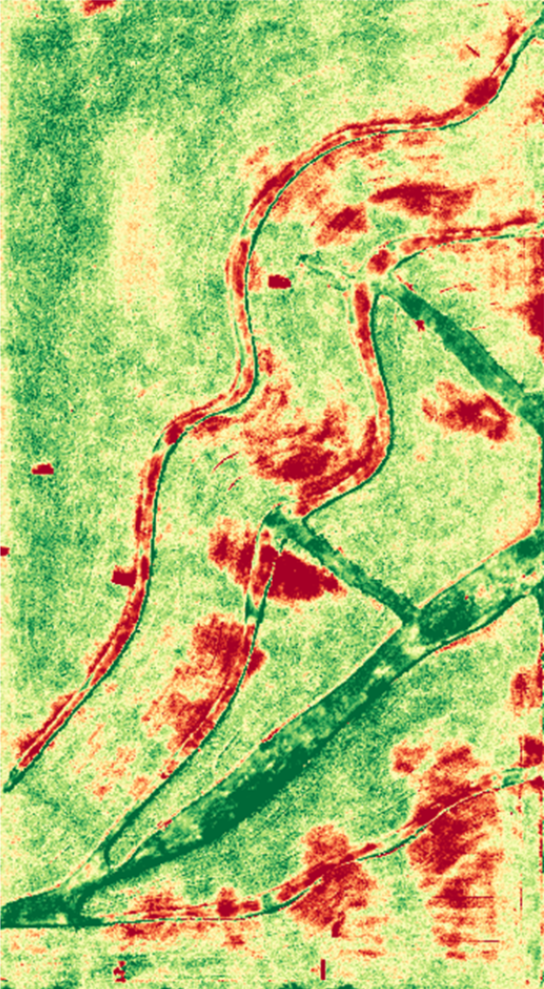
This year WS AG Center increased our technology offerings with new hardware and services to help customers be more profitable using modern agriculture technology. We have had a lot of positive feedback from customers who are using our RTK GPS network, Ag Leader planter monitoring and control, Precision Planting CleenSweep adjustable row cleaners, 360 Bullet Ripper points, and of course the Ag Leader Yield monitors. We are also helping customers with their data and providing some intensive scouting services to help customers fine tune their crop management strategies. Our technology allows us to track side-by-side hybrid performance throughout the season even before the combine runs. Using the drone, we have been able to detect plant stress in the field, take tissue and soil tests to determine the cause of the stress, and with yield maps we will determine the cost of the plant stress and the best remedy for upcoming years.
The cost of being nutrient deficient in a crop can vary, but saving a 3 bushel loss in corn or just 1 bushel in beans justifies grid-sampling the field. Most fields vary in their capacity of producing crops as there are changes in soil type and slope that affect yield. Having yield data or in-season imagery helps us identify those areas so we can build soil nutrients specifically where we know they will benefit us. We also use the yield data to replenish the nutrients we remove so we don’t become deficient in the high performing areas of the field. I like making the analogy that applying fertilizer without using grid sample and yield data is similar to betting on every square in the game of roulette. You lose as much if not more than you gain. Data allows us to know what areas to bet on, keeps us from throwing dollars at areas with little chance of return, and it shows us the areas that will pay back multiple dividends off our investment.
Starting to be more precise with your application is simple. Start by having current grid sample data so you can know where the high and low spots are in your field. If you don’t currently have a combine that can give you yield maps, let us get some aerial imagery before harvest that will give us a picture of the variability in the field. If you have yield maps we can use those to build a map for our spreaders to apply the right nutrients for what the crops removed. If you have yield maps or aerial imagery we can also just take individual samples in areas that show high yield or low yield and build fertilizer recommendations from there.
In summary, the technology is here to enable us at WS AG Center to help you be more efficient with your inputs. Whether you are looking for equipment to help you gather your own data, or if you want us to gather the data for you, we are here to help, and we can help you through each step of the process. Wishing you a safe harvest season!
Andrew Tucker